New World Explorers
Five centuries ago (that's before I was born!), Christopher Columbus was exploring the islands of the Caribbean, thinking all along that he was in Asia. Looking for a sea route to China and Japan, and enormous riches from trade, he mapped and named every place he found. Of course he was off by about 10,000 miles, so obviously his knowledge of this sphere was pretty limited. Within 10 years or so, Amerigo Vespucci was already calling it the "New World" in his writings, knowing Columbus was way off and probably embarrassing him in the process. But you can't argue with Columbus' bravery and sense of adventure, he was a real pioneer.
During all this exploring, he came across a place he named "San Juan Bautista" in honor of Saint John the Baptist. The area was inhabited by tens of thousands of Taíno people who beat him to the place by a few hundred years, having migrated northward up the island chain from South America. Still, a Spanish settlement was started there, as Columbus continued naming and claiming these lands for Spain, so San Juan Bautista it was. One theory had him landing on Vieques but even if not, records show he certainly sailed by on his second journey. Almost all of the islands around here are close enough to easily see from the water. Later, during the voyages of Juan Ponce de Leon, the original Spanish settlement was abandoned for a better one, and the island was renamed "Puerto Rico", the Rich Port. That new harbor is now known as San Juan, Puerto Rico, the most popular sea and air hub in all of the Caribbean.
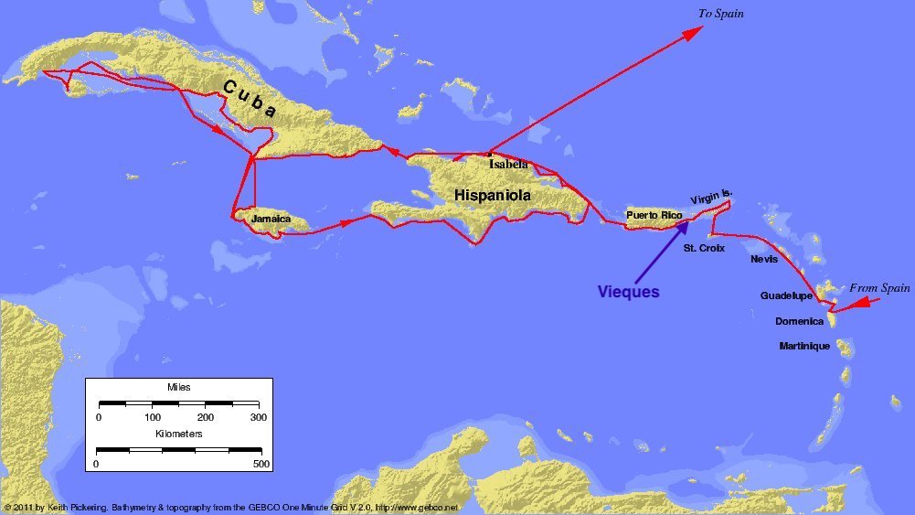
And now, all these centuries later, a pair of brave and intrepid adventurers are exploring anew, sure to reveal new discoveries and new riches. Haha, just kidding, it's just Deb and I hiking, biking, and driving around another island! But we have been discovering lots of things for ourselves on this little rock called Vieques!
As we've mentioned, one of our favorite beaches is Playa Caracas - it's just a gorgeous place to spend a few hours swimming or snorkeling in the cyan colored water and chilling on the white sand. But on the road to Caracas, if you turn early and are willing to hike a half mile or so, there is a beach called Playuela that is in a much more natural state. Less popular because it's location and shape causes it to catch a lot more of the Sargassum seaweed (lots and lots of it this year!) from the trade currents, it is an adventure and beautiful in its own right. We took the dogs that day and they had a ball. There was one woman on the whole beach and since she was at one end, we went to the other. That's the kind of busyness we've come to expect on Vieques anywhere away from the biggest, most popular beaches.
Another day we took the dogs to the Puerto Ferro Lighthouse. It's an easy drive down a gravel road in the wildlife preserve and an easy walk after the gate. A stone building on the south shore of Vieques, it was built by the Spanish government to aid navigation from St. Thomas to Cuba. It was almost a carbon copy of the Punta Mulas Light on the opposite side of the island in the town of Isabel Segunda (we'll explore it another time), and was first lit in 1899 after being delayed a bit by the Spanish American War. Situated on sea cliffs without any need for greater elevation, these minor lighthouses are built more like a dwelling with a turret in the middle, than the classic tall tower lighthouses. Because of ground stability issues caused by earthquakes in the 1920s, the Puerto Ferro light only stayed in service for 27 years and was decommissioned in 1926.
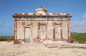
The structure today looks like this 2009 image, but now it is crumbling even more so the feds have surrounded it with a chain link fence due to safety concerns. I didn't bother photographing it in this decrepit state. Still, the views across the water from there are spectacular and worth the short drive and easy walk.
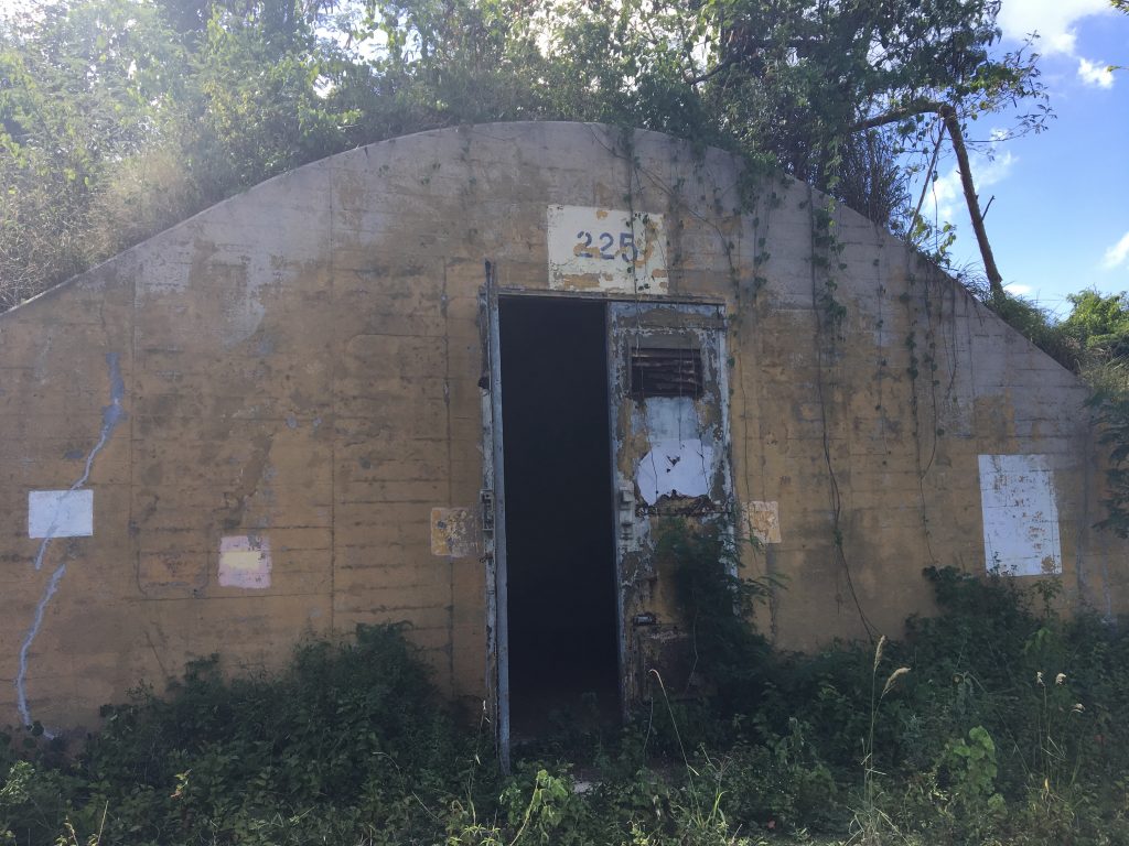
Early on in our stay, we were told that we should go to "The Bunkers", abandoned by the U.S. Navy when they exited Vieques in 2003. The bunkers held munitions and every other thing you can imagine that you'd need to run a Naval base. These things are eyebrow-shaped warehouses built in to the hillsides or built to look like hills from the air, and partially overgrown from various tropical plants. If you've ever seen the show "Lost", you have an idea of what these things look like. They are slightly less strange and mystical vs. the show, but otherwise interesting and there are dozens and dozens of them. There are also many other buildings of various purposes (like the Power Plant shown in The Sound of Sunshine) and also the Mosquito Pier and causeway built by the U.S. Navy.
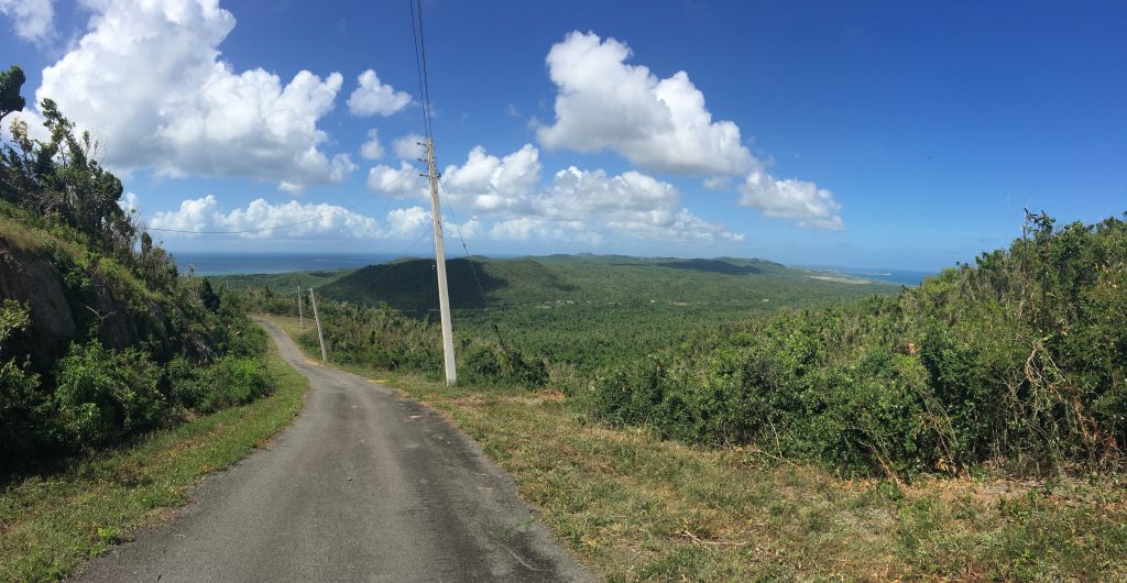
Elsewhere on the ex-Navy land is Monte Pirata, Pirate Mount. The highest point on Vieques, Deb and I climbed it one sunny, dry 90 degree day. What we thought was a hiking path up there is simply a paved road that is gated off so you can't drive it. But we could walk it, and we did. Not knowing how far it was, or really anything about it, I was hesitant, but Deb was raring to go. She said I'd pushed her before to do things she was unsure about, and this was her turn to push me. The mountainside is semi-arid, and with the heat, we consumed every drop of the 32 ounces of water we brought with us before we got back down.
The road was so steep that my heels wouldn't touch the ground for a quarter-mile at a time. Deb said it looked like a ski jumping hill, and we felt like ski-jumpers as we leaned forward into the hillside. But then it would give us a break and level off a little, before another steep climb around the next bend. The view from the bottom is nice, you see the north side of the island with its emerald coastline, and dark blue water looking out toward the North Atlantic, with Puerto Rico off to the left. But as we climbed it became more and more spectacular, until we crested the ridge about halfway to the top. At this point, the south side came into view, the Caribbean Sea toward Venezuela 500 miles over the horizon.
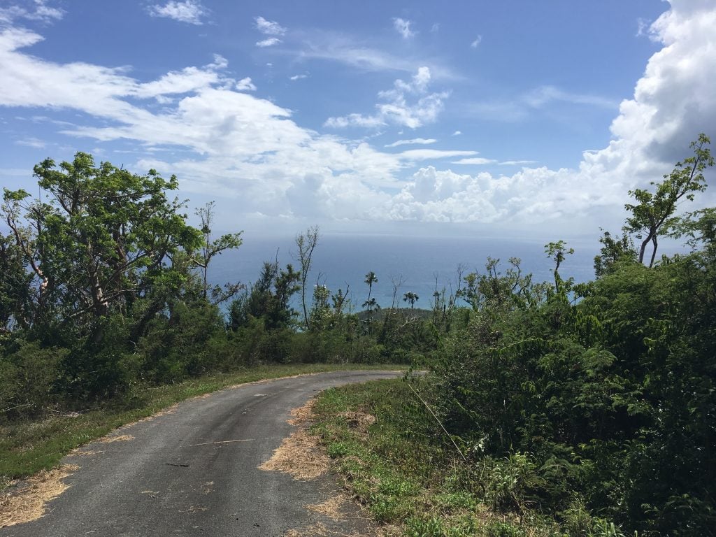
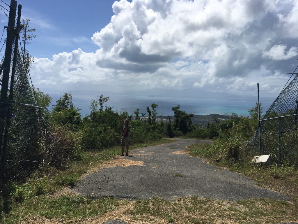
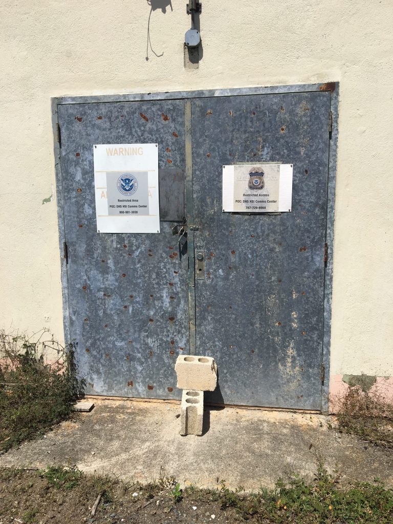
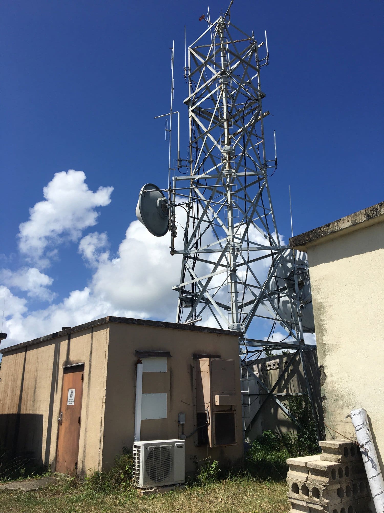
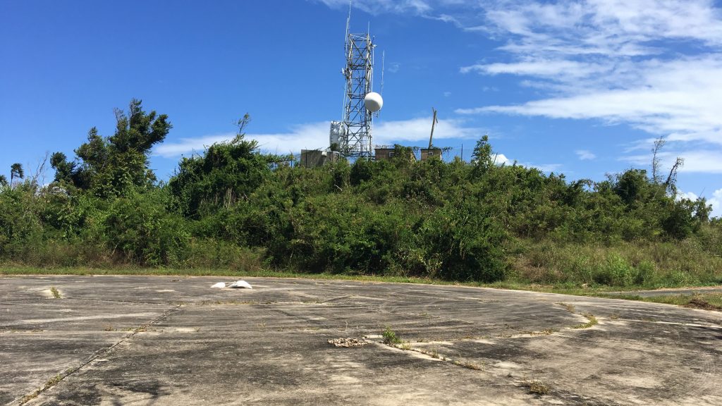
All the way at the top, there were a couple of small buildings and a communication tower, complete with a generator to run the thing. I don't know who owns it all - I read something about the Coast Guard using it at one point in time, but the signs on the door say Dept. of Homeland Security. It must be important to haul generator fuel up there to run the equipment (the electrical lines are still not reconnected to this remote location after hurricane Maria). In retrospect, we probably weren't allowed up there, but the fence had been blown over and we didn't see any no trespassing signs, except the foreboding DHS signs on the door (and no, we didn't go inside!).
There is also a large circular helicopter pad up there, very modern! But thinking back to the name, one could easily imagine a pirate outpost up on that hill hundreds of years ago, a lookout for ships that may threaten them. The hike was a hard climb, but the return trip downhill was the part that put strain on my old knees. Not terrible, but I could still feel it a week later. Next time, we're taking the helicopter!
The week before that, we hiked to Playa Negra, the Black Sand Beach. This adventure began with a drive to a sparsely populated area on the south side of the island. It's not far from anything, but it's not in the middle of the action either.
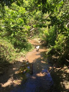
The hike is about 15 minutes through a drainage that is overgrown, a humid tropical jungle with overhanging vines, fallen trees, beautiful flowers, a few spiders. I have a habit on these jungle hikes to grab a stick somewhere near the starting point and wave it ahead of me to knock down hard-to-see spider webs. I'm not Catholic, but I bless the path in the sign of the cross as we go. 🙂 It's an easy hike and well worth the walk if you don't mind getting your feet wet in some semi-grungy water.
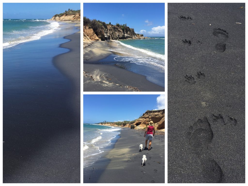
The end of the hike is the beach with glorious black sand and beautiful blue waters! The black sand consists of magnetic particles that run off of Monte Pirata and all the way down to the sea. It's a wild beach, a bit dangerous for swimming, but it's beautiful, really beautiful. As we walked to the west, the black sand faded away and the beach was a deep gold color, and the foliage was dry. We went from humid jungle to arid shoreline in a matter of 10 minutes.
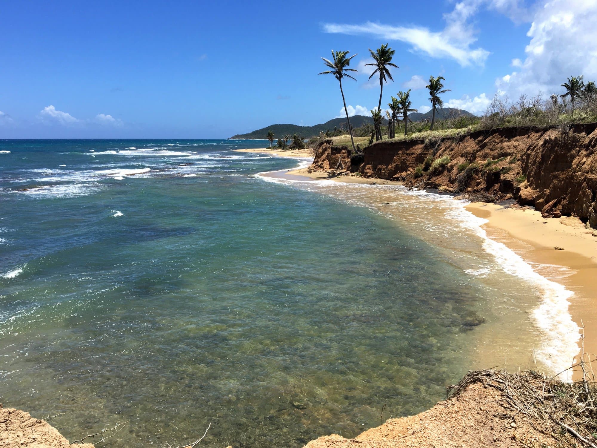
We had lunch there which consisted of veggie wraps that Deb put together, and some chips. It was great except that the peppers she thought were mild "flavor peppers" were actually habaneros, one green and one orange. In her defense, they looked like the flavor peppers we'd eaten in Honduras. They had flavor all right, the flavor of piping hot magma! Flames were shooting out of my mouth as I pulled those peppers out of my lunch and tossed them onto the rocks! But we survived the peppers and proceeded to climb up a hill that revealed a cliff edge on the other side, overlooking a gorgeous half-moon beach below! It was very enticing, thinking about playing in the water down there with the pups. Kirby loves playing in the shallow water for a nice cooling off. In some future adventure, I'm going to find a way to hike to that beach, but not by climbing down a cliff face!
On the way back out my right flip-flop blew out. I remembered seeing an abandoned pair as we hiked in, one of them had broken as well. So we found the discarded ones but of course the bad one in that pair was also the right flip-flop. I took them home anyway and repaired both mine and the new/old pair (fishing line has multiple purposes!). But I'm no cobbler and neither of them is actually very good so they'll be headed to the trash soon. I'll be down to a single pair of flip-flops, oh my!
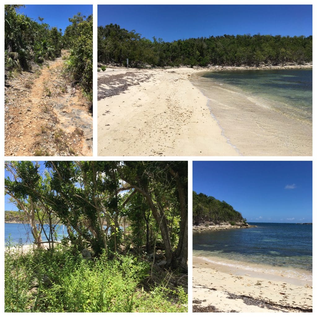
And just last week Deb found a hike that turned out to be really a fun time. Back down the road toward the Playuela hike, there is another one a bit farther that way. A cleared path through a semi-arid tropical jungle took us mostly downhill to find Playa Corcho, a small deserted beach near the mouth of the Puerto Ferro bay. Like many places in Vieques, this bay has no development at all, it is completely natural. The view of the Caribbean out of the mouth of the bay is wonderful and we're fans of any beach that only has our footprints on it. After picking up 5 small pieces of trash, the 100 feet or so of white sand was pristine. We cooled off our feet, but the water wasn't super inviting as it had a lot of turtle grass and the rocks had many sea urchins on them. The bay looked like a good place to fish, although a friend said it has tiger sharks in it. Since tiger sharks are second only to great whites in numbers of fatal human attacks, we'll not be swimming in Puerto Ferro bay!
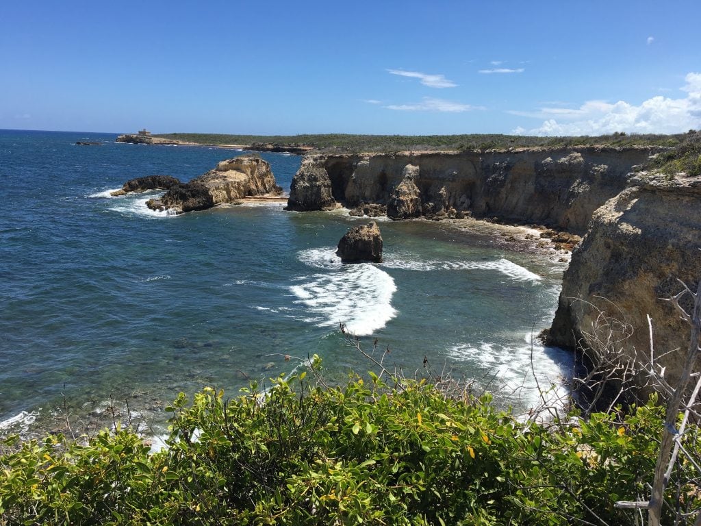
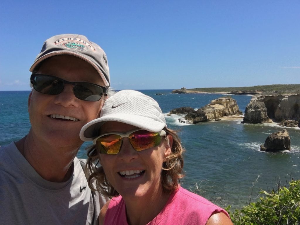
We stayed there a while and then reversed course, looking for an overlook from some new cliffs we hadn't seen. Now, during this whole time we were walking in flip-flops (chancletas!) as we like to do. We kept tripping on sticks and having them stab our toes, or sharp rocks were bruising the bottoms of our feet through the rubber. At one point I kept taking one flip-flop off looking for a stick or rock that was poking into my foot, but I couldn't find anything. Finally, I turned the thing over and found a stick with a thorn shooting right through into my foot. Lesson learned - next time we're wearing real shoes on this hike, as much as we hate that idea. The Cliffs Overlook was another gorgeous sight. I just stared and imagined all the boats and ships that has passed by this Caribbean rock over the centuries.
There's so much more to explore on this island we've barely begun, but know this: when we find it, we'll report back to our fellow kneedeepers, because that's what we do!
TODAY'S SPECIAL: "Another Road", by the one and only Jimmy Buffett!

Sounds like that little beach car is a real enabler for exploring. Thanks for sharing!
Astute observation! The car has really allowed us to enjoy the place more, to see much more. We keep saying “we’re doing it right now!”.
It’s true that Kirby loves playing in the shallow water for a nice cooling off.
Don’t we all? 🙂
VERY well written again! Thanks for sharing!
Thanks! Glad you like it! 🙂
Still sounds like lots of fun. I am so glad all is going well, except the flip flop blow out but there’s booze in the blender, right?
Hahaha, love the Jimmy Buffett reference! (and I fixed the name) 🙂
This is my favorite post so far, I LOVE seeing all the pictures of your explorations! Thanks for letting us live vicariously!
Thanks Tawnya, so glad you’re enjoying it! Thanks for coming along for the ride.